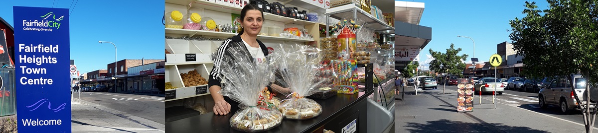
Fairfield Heights
The Fairfield Heights Town Centre is located upon the traditional lands of the Cabrogal people.
The Fairfield Heights Centre is a local centre within the Fairfield Local Government Area (LGA). The Centre is primarily focused along The Boulevarde, between Polding Street to the north and Beemera Street to the south. The Boulevarde intersects with Bodalla Street, Stanbrook Street, Karabar Street, Kihilla Street, Beemera Street and Station Street within the local centre area.
There are a number of retail and commercial services provided consistent with its role as a local centre. Fairfield Heights Town Centre has experienced economic decline over recent years, evidenced by shop vacancies and the transition in businesses including the closure of long standing local enterprises that also include bank branches. While the decline has impacts on the overall desirability of the centre as a destination for local shopping and community activity, there is also evidence of investment (e.g. new Woolworths supermarket), new business types (higher and ‘hipster’ café) and the ongoing presence of the Commonwealth Bank branch.